|
 |
|


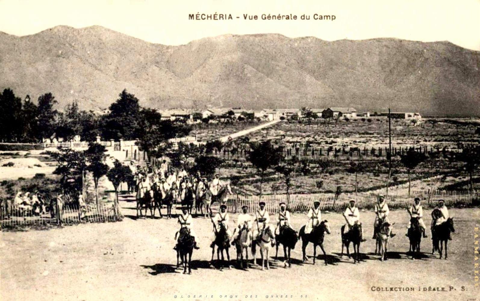
| 532 | MECHERIA - VUE GENERALE DU CAMP.jpg | 1600x1004px | 230kB | |
| « | < | 521 | 522 | 523 | 524 | 525 | 526 | 527 | 528 | 529 | 530 | 531 | 532 | 533 | 534 | 535 | 536 | 537 | 538 | 539 | 540 | > | » | |
| Latitude: N 33,54284° | Longitude: W 0,27511° | Heure GPS: 12:5:28 UTC | Voir la carte | |
| Nombre total d'images: 1800 | retour menu principal ORAN DES ANNEES 50 | Aide | |